Overview
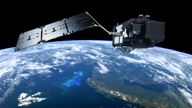
Copernicus Sentinel-3, consisting of thee two satellites Sentinel-3a and Sentinel-3b, measures sea surface topography, sea and land surface temperature, and ocean and land surface colour with high accuracy and reliability to support ocean forecasting systems, environmental monitoring and climate monitoring. As such, it is a sucessor of ERS, ENVISAT and CryoSat-2.
The following instruments are deployed:
- OLCI (Ocean and Land Colour Instrument): imaging spectrometer with 21 spectral bands from optical to near-infrared.
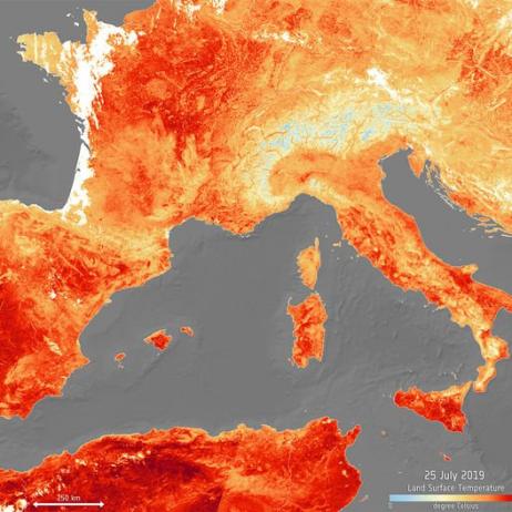
- SLSTR (Sea and Land Surface Temperature Radiometer): surface temperature measued with nine spectral channels (short-wave infrared to visible) plus two bands optimised for fire monitoring, to an accuracy of better than 0.3 K.
- SRAL (Synthetic Aperture Radar Altimeter): radar for sea ice, ice sheets, rivers and lakes, with 3cm vertical accuracy.
- MWR (Microwave Radiometer): measures water vapour and cloud water content and thermal radiation emitted by the Earth, at an accuracy of 3.0 K.
Spatial Coverage and Resolution
The Sentinel-3 mission provides coverage depending on illumination conditions as described by ESA.
Spatial resolution is 300m with OLCI and SRAL, 500m / 1 km with SLSTR
Temporal Coverage and Resolution
Systematic provisioning started stepwise in 2016.
Temporal resolution (revisit): 27 days, with a 4-day sub-cycle.